Land acquisition projects are complex by nature. From ownership details and legal documents to compensation reports and survey data, teams often deal with an overwhelming volume of information. This data overload not only slows down decision-making but also increases the risk of errors, delays, and compliance challenges.
The good news? Modern land acquisition software is designed to tackle this problem head-on. By transforming raw, scattered information into clear, actionable insights, these tools help organizations streamline processes, cut costs, and accelerate project success.
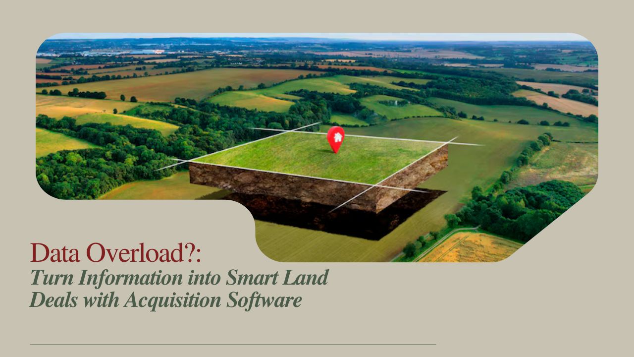
The Challenge of Data Overload in Land Acquisition
Managing land acquisition isn’t as simple as collecting records. A single project may involve:
- Dozens to thousands of parcels
- Multiple stakeholders and owners
- Legal clearances and compliance checks
- Negotiations, offers, and compensation payouts
Without a structured system, these layers of information quickly pile up into chaos. Teams end up working with disconnected spreadsheets, duplicate files, and manual logs—leading to:
- Reduced transparency in project status
- Higher error rates due to manual entry
- Slower decision-making as teams search for missing data
- Inefficient resource use from unclear priorities
- Compliance risks with local regulations and compensation policies
Clearly, data overload is more than an inconvenience—it’s a roadblock to project efficiency.

How Land Acquisition Software Transforms Data into Insights
1. Centralized Data Repository: A Single Source of Truth
Instead of scattered files, land acquisition software consolidates all data into one secure platform. This ensures:
- No duplication or conflicting spreadsheets
- Real-time synchronization for all updates
- Easy access for authorized team members anytime, anywhere
2. Structured Data Entry & Validation
Rather than relying on free-text inputs, software uses predefined fields and dropdowns. This:
- Reduces human error
- Ensures consistent formats for legal and financial data
- Cuts down time spent cleaning or correcting entries later
3. Workflow Automation: Streamlining Processes
Once an offer is accepted, the system can automatically trigger the next steps—legal review, documentation, payment processing. This keeps projects moving without missed milestones.
4. Advanced Search & Filtering
Need to identify all parcels in a village still pending survey reports? With robust filters, teams can retrieve precise datasets instantly—saving hours of manual searching.
5. Reporting & Analytics: Turning Data into Strategy
The software converts raw numbers into easy-to-read dashboards. Key metrics include:
- Project progress – acquired parcels vs pending negotiations
- Financial tracking – budget vs actual spend
- Risk alerts – parcels with disputes or delays
- Performance metrics – team productivity and negotiation success
6. GIS Integration: Seeing Data in Geographic Context
With built-in GIS mapping, teams can visualize parcel boundaries, ownership data, and project alignments on interactive maps. This spatial view simplifies planning, improves communication, and reveals insights spreadsheets can’t show.
Key Benefits of Using Land Acquisition Software
- Faster acquisition timelines through automation
- Reduced risks and human errors
- Better compliance with regulations and policies
- Clear financial tracking and cost savings
- Improved collaboration across teams and stakeholders
Why India Needs Land Acquisition Management Systems
In India, land acquisition is deeply tied to regulatory frameworks, compensation guidelines, and environmental clearances. Software built for local needs helps organizations:
- Stay compliant with government policies
- Manage large-scale projects with transparency
- Build trust with stakeholders through data accuracy
For infrastructure developers, government agencies, and real estate companies, adopting a land acquisition management system in India is no longer optional—it’s essential.
Final Thoughts
Data overload is one of the biggest hurdles in land acquisition projects. But with the right software, organizations can move from chaos to clarity. By centralizing, validating, automating, and analyzing data, land acquisition software provides actionable insights that drive smarter decisions, reduce risks, and accelerate success.
If you’re looking to streamline operations and gain a competitive edge, investing in a robust land acquisition management system is the next logical step.
Frequently Asked Questions (FAQ)
1. What is land acquisition software, and why is it important?
It’s a digital tool that helps organizations manage all aspects of land acquisition—data, negotiations, compliance, and payments—while reducing errors and delays.
2. How does land acquisition management software prevent errors?
By using structured data entry, validation rules, and automation, it minimizes manual mistakes and ensures accuracy.
3. Can land acquisition software help with compliance in India?
Yes. It aligns with local regulations, compensation rules, and legal frameworks, making compliance much easier.
4. What role does GIS integration play in land acquisition projects?
GIS mapping allows teams to visualize parcels, boundaries, and project alignments, improving planning and communication.
5. How does software speed up land acquisition projects?
Automation of workflows, real-time updates, and quick data retrieval eliminate bottlenecks, reducing project timelines.
")

")
")